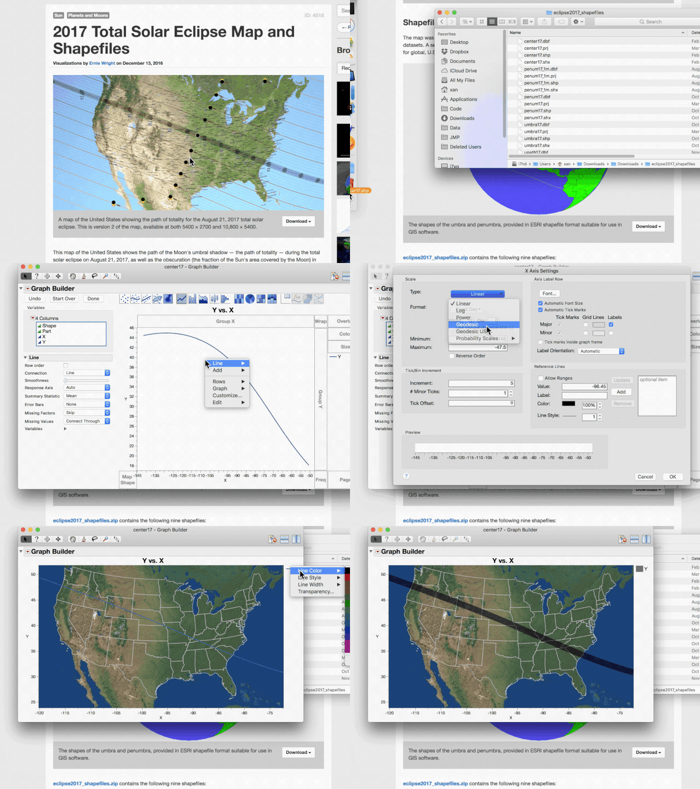
The 2017 US eclipse is just around the corner, and eclipse maps are everywhere. After hearing that the NASA eclipse site has coordinate data, I wondered how quickly I could make map of the eclipse path from scratch. Here is an animated GIF of the whole process.

I eyeballed the width of the totality path and checked it later against the full data. The bounds of totality and other coverage amounts are available in other downloaded files, but I wanted to keep this video simple.
A few nice JMP features illustrated here:
- reading data from shapefiles (SHP)
- applying a geodesic projection
- adding both a background map image and background map shapes
You must be a registered user to add a comment. If you've already registered, sign in. Otherwise, register and sign in.