- JMP will suspend normal business operations for our Winter Holiday beginning on Wednesday, Dec. 24, 2025, at 5:00 p.m. ET (2:00 p.m. ET for JMP Accounts Receivable).
Regular business hours will resume at 9:00 a.m. EST on Friday, Jan. 2, 2026. - We’re retiring the File Exchange at the end of this year. The JMP Marketplace is now your destination for add-ins and extensions.
- Subscribe to RSS Feed
- Mark Topic as New
- Mark Topic as Read
- Float this Topic for Current User
- Bookmark
- Subscribe
- Mute
- Printer Friendly Page
Discussions
Solve problems, and share tips and tricks with other JMP users.- JMP User Community
- :
- Discussions
- :
- Re: Create Latitude Longitude overlay on a US map with Interstates in JMP

- Mark as New
- Bookmark
- Subscribe
- Mute
- Subscribe to RSS Feed
- Get Direct Link
- Report Inappropriate Content
Create Latitude Longitude overlay on a US map with Interstates in JMP
I am trying to create a data visualization in JMP of the location of customers; and despite several hours of research using Google, I haven't been able to find good directions.
Here is what I want my map to contain:
-each plot point should be the a Latitude Longitude intersection
-the points should be plotted on a US map that shows interstates
-the size of each plot point should be determined by the variable 'total_visits'
-the color of each plot point should be determined by the variable ' primary_store'
-the map view should only show Atlanta, GA, and the surrounding area
I am using JMP 9.0.2 I have installed the WMS Explorer add-in from this location: http://www.jmp.com/software/add-ins.shtml?utm_source=jmp9&utm_medium=software
I have found a WMS server that should give me a map with Interstates: http://mapmatters.org/wms/648249
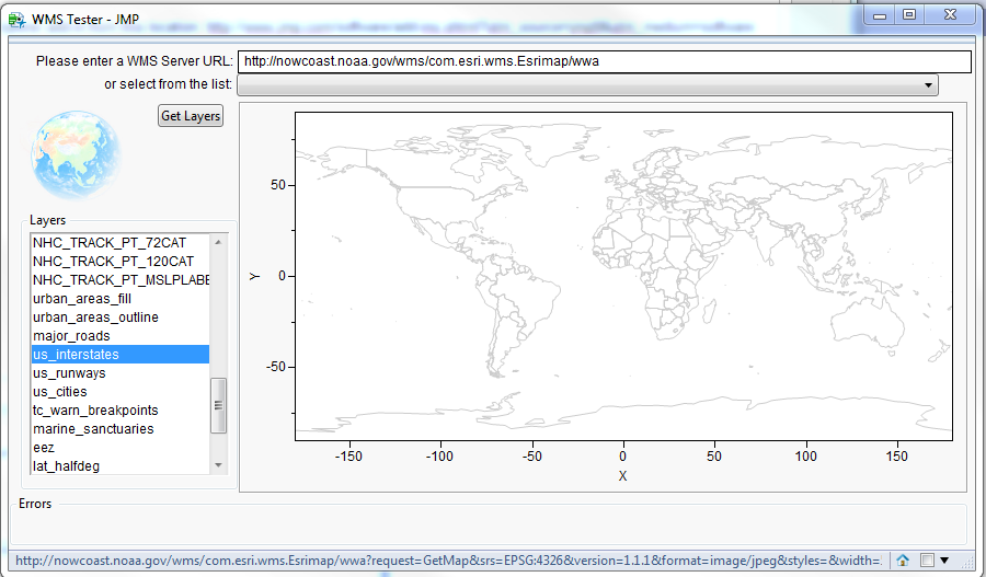
WMS URL: http://nowcoast.noaa.gov/wms/com.esri.wms.Esrimap/wwa
This is where I'm stuck. I can't get my points to plot using Lat, Long; I can't get the map with interstates to show up. Does anyone know how to do this or know of a good tutorials?
Thanks,
-Lee

- Mark as New
- Bookmark
- Subscribe
- Mute
- Subscribe to RSS Feed
- Get Direct Link
- Report Inappropriate Content
Re: Create Latitude Longitude overlay on a US map with Interstates in JMP
Hi Lee,
I'm guessing you are running version 9 of JMP. The background map feature was added in JMP 9 but support for the background maps as part of the flash output was not added until JMP 10. That is true for both the raster maps (like the WMS map) and the vector maps (US Counties boundary shape). That is why you are not seeing either of those maps. You would have to upgrade to version 10 (or even 11) to get the maps in your flash output.
As for the other two questions, I don't know off hand. Those are more about saving to flash than they are about the mapping functionality. But I'll see if I can track down an answer for you.
- « Previous
-
- 1
- 2
- Next »
Recommended Articles
- © 2025 JMP Statistical Discovery LLC. All Rights Reserved.
- Terms of Use
- Privacy Statement
- Contact Us